Feasibility Reports
The Feasibility Report process was developed to define the purpose and need and the scope of a project prior to NEPA with the aim of more accurately estimating the cost and schedule of a project in order to manage expectations of stakeholders and to document planning decisions for proper project development. Not all projects follow the process, therefore, it is possible that your project of interest is not listed below.
Click on a region of the state map to view the projects that are moving through the Feasibility Report process. Once you find your project of interest, click on the hyperlink to view more detailed information about the project and to review the Feasibility Report.
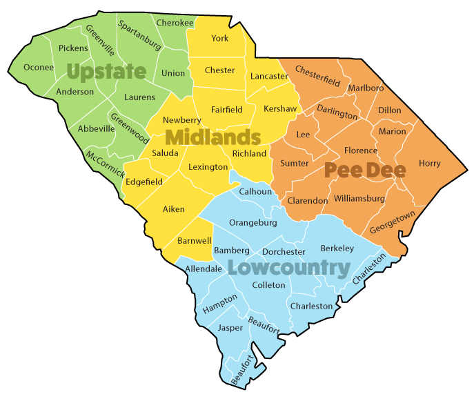
Upstate
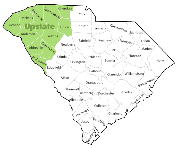
Projects by Region – Upstate
SC-97 (Dalrymple Rd) at Scotts Bridge Road Intersection Improvement
- County: Anderson
- Project ID: 039472
Midlands
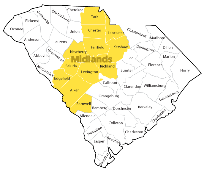
Projects by Region – Midlands
No reports for this region at this time
Pee Dee
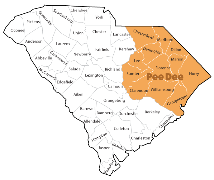
Projects by Region – Pee Dee
Old Kings Highway and Riverwood Drive Intersection Improvement
- County: Georgetown
- Project ID: 038887
- County: Florence
- Project ID: 040197
Lowcountry
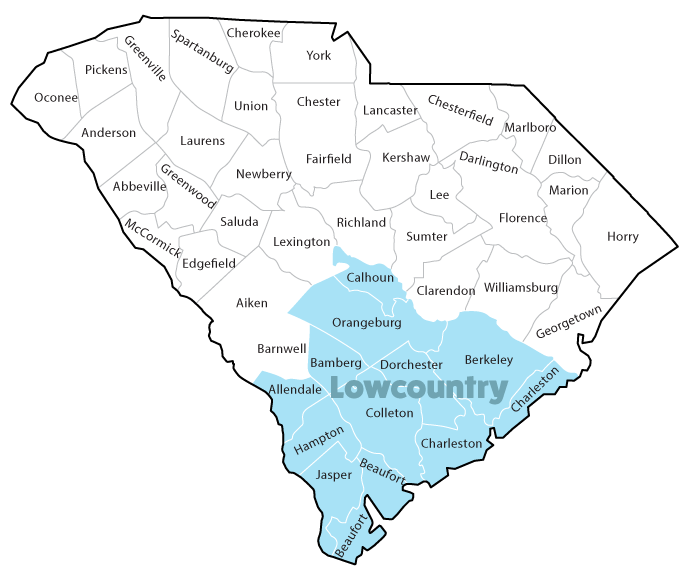
Projects by Region – Lowcountry
I-95 and I-26 Interchange Improvement
- County: Orangeburg
- Project ID: 038677
I-95 from Georgia State Line to MM 18(Exit 18) Interstate Corridor
- County: Jasper
- Project ID: 038678